
River morphology
Štvanice Survived a River Landscape That Once Held More Islands
Prague City Tourism says the Vltava bend around Štvanice was once shallow enough for a series of islands to form, while river-flow regulation caused many to disappear.
Štvanice, Prague

Its survival makes sense when you imagine a shallower Vltava bend once broken into several islands.
Štvanice is a survivor of a different Vltava
The river around Holešovice did not always have the clean, consolidated form visible today. Prague City Tourism says this bend of the Vltava was once shallow enough for a series of islands to form. Štvanice survives from a river landscape that included more pieces of land than the modern channel suggests.
Engineering changed geography, not just water flow
As Prague regulated the Vltava, the islands in this bend gradually disappeared. That makes river engineering visible on the map itself: changing the channel did not only affect water flow, it also changed which pieces of land remained above it.
An island can function as evidence
From a bridge, Štvanice looks like an ordinary urban island. Knowing the older morphology changes that view. It becomes a surviving clue to a shallower, more fragmented bend of the Vltava—one piece of a geography that later works simplified.
Imagine the river before treating it as fixed
Urban rivers can appear permanent because embankments, bridges and regulated banks are so solid. Štvanice is a reminder that the watercourse has a history too. The most useful exercise is to picture the bend as a changing system, not a timeless blue line through the city.
Reviewed visuals
See the story
Supporting images selected in the Prague Stories visual review. Context images are labeled so they are not mistaken for documentary proof of the exact subject.
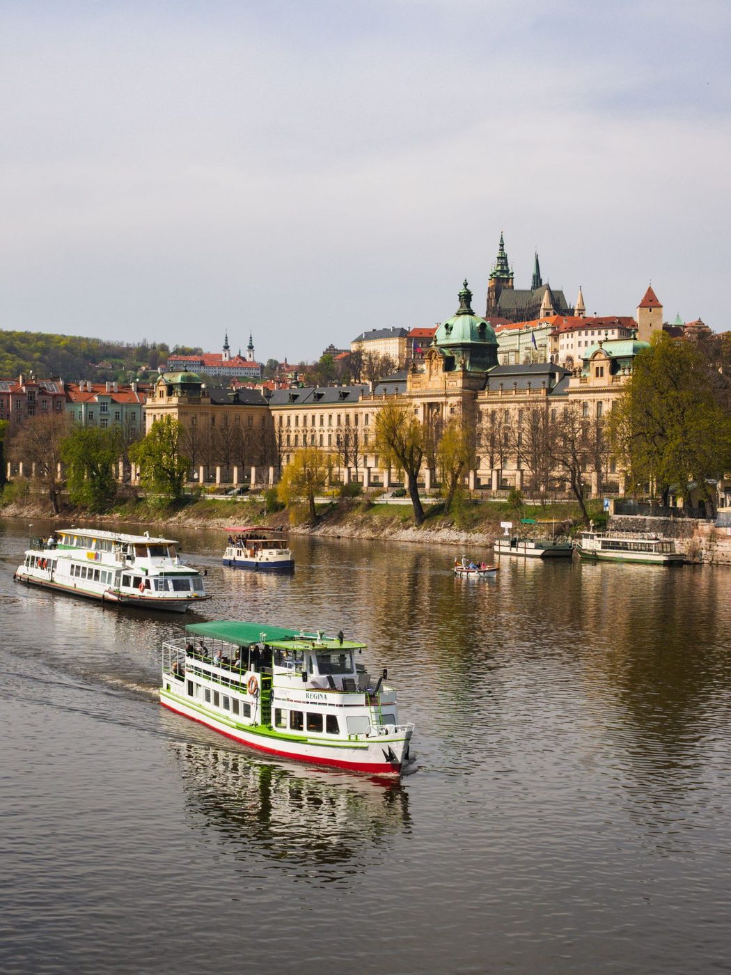
Exact Vltava river and Prague urban banks are visibly shown.
Quick facts
- Štvanice lies in the Holešovice bend of the Vltava.
- The source says this part of the river used to be shallow.
- A series of islands formed there.
- River-flow regulation caused islands gradually to disappear.
Questions
Why did a series of islands form here according to the source?
The river bend used to be relatively shallow.
What changed that island landscape?
Prague City Tourism points to regulation of the river flow.
Sources & further reading
- Štvanice island — Prague City Tourism